iROADS seamlessly integrates with external data sources, which enables you to:
External Data Sources for iROADS

- Conduct network-level climate risk and vulnerability assessments
- Create project-level vulnerability assessments
- Incorporate real-time weather alerts
External data sources include, but are not limited to:

Climate Projection Data
- The UK Climate Projections (UKCP) provides the most up-to-date assessment of how the UK climate may change in the future. iROADS uses this data to assist in your climate change risk assessments and adaptation plans. Find out more here.
- RegioClim is an online tool that gives non-expert users simple access to regional climate projections for all African countries for five climate indicators: temperature, hot extremes, precipitation, wet extremes and 5-day wet extremes. Its key feature is the ability to access projections not just at the national but also at the province level. iROADS can use this data to assist in your climate change risk and vulnerability assessments. Find out more here.
Weather Data Platform
iROADS interfaces with online weather data platforms having some of the most accurate hyperlocal weather forecasts globally. This helps authorities to reduce speed, plan for delays and send updated communications at the same time, plan routine and emergency weather -driven maintenance action plans. With this interface, you can get –
- Historical weather data access for time series analysis
- Current weather data (Hourly + Minutely)
- 7 days forecast
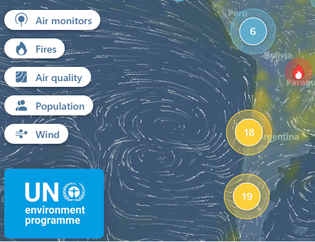
- Core data layers including; rain, temperature, humidity, wind speed, wind direction, precipitation and air quality
Hazard Mapping
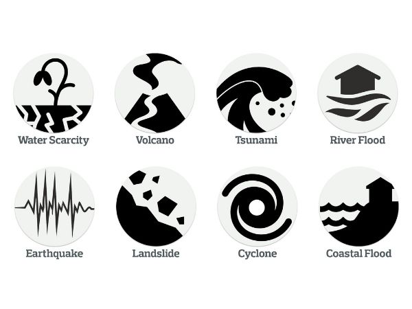
- ThinkHazard! provides a general view of the hazards, for a given location, that should be considered in project design and implementation to promote disaster and climate resilience. The tool highlights the likelihood of different natural hazards affecting project areas (very low, low, medium and high), provides guidance on how to reduce the impact of these hazards, and where to find more information. The hazard levels provided are based on published hazard data, provided by a range of private, academic and public organizations. See here.
- Local Sea Level Projections. See here.
- Fathom-UK. Comprehensive Flood Modelling for whole of UK. See here.
- Fathom Global. See here.

90691191291391591791823184948
