An Asset Data Marketplace
Home | Digital Asset Management | iROADS™ | Asset Data Marketplace
The Data Marketplace is an exciting new initiative, which helps unlock the benefits to be gained from the huge proliferation of novel datasets available today. Our aim is to connect you with selected data partners who can provide useful datasets such as flood locations, driving events (such as harsh braking), road condition data, and more.
There are many challenges for roads authorities wanting to use such datasets – the sheer number and variety of options, issues with data formats and compatibility, and the need to ensure reliable, quality data at reasonable cost. The Data Marketplace addresses these challenges – by working with a carefully curated set of data partners, we can ensure that the data provided to iROADS customers is relevant, compatible, and reliable.
System Requirements
Runs in any web browser
Training Course Schedule
There are no training courses currently scheduled, click here to view all training courses.
Gain easy access to novel data
The main purpose of the Data Marketplace is to make it as easy and quick as possible for you to access and use the data you need.
Carefully curated data providers
TRL works directly with third-party data-providers to ensure they are a good fit before being added as a supplier in the Data Marketplace – we vet the relevance, compatibility, reliability, cost and quality of their data.
Varied datasets for every need
The datasets available in the Data Marketplace include flooding and microflooding locations, video survey imagery, AI-derived road surface condition data, harsh braking events, suspected collision locations, and more.
Data with real impact
We ensure our data providers are relevant to managing a road network. For example, use flooding data to identify flood-vulnerable sites, or harsh braking data combined with pavement surface data to proactively identify crash risk locations
Combine datasets to gain insight
The real benefits from third-party datasets tend to come when they are combined with more ‘traditional’ data. iROADS makes it easy to do this, allowing you to work with all datasets seamlessly throughout the system.
External data sources include, but are not limited to:
Climate Projection
Weather Data Platform
Hazard Mapping
Environment
Climate Projection Data
- The UK Climate Projections (UKCP) provides the most up-to-date assessment of how the UK climate may change in the future. iROADS uses this data to assist in your climate change risk assessments and adaptation plans. Find out more here.
- RegioClim is an online tool that gives non-expert users simple access to regional climate projections for all African countries for five climate indicators: temperature, hot extremes, precipitation, wet extremes and 5-day wet extremes. Its key feature is the ability to access projections not just at the national but also at the province level. iROADS can use this data to assist in your climate change risk and vulnerability assessments. Find out more here.
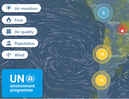
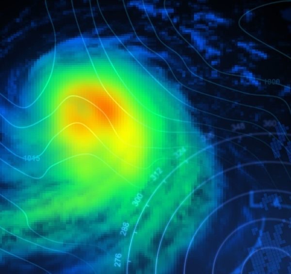
Weather Data Platform
iROADS interfaces with online weather data platforms having some of the most accurate hyperlocal weather forecasts globally. This helps authorities to reduce speed, plan for delays and send updated communications at the same time, plan routine and emergency weather -driven maintenance action plans. With this interface, you can get:
- Historical weather data access for time series analysis
- Current weather data (Hourly + Minutely)
- 7 days forecast
- Core data layers including; rain, temperature, humidity, wind speed, wind direction, precipitation and air quality
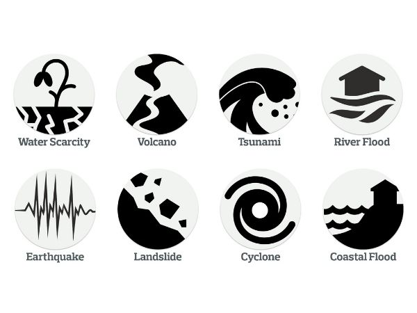
Hazard Mapping
- ThinkHazard! provides a general view of the hazards, for a given location, that should be considered in project design and implementation to promote disaster and climate resilience. The tool highlights the likelihood of different natural hazards affecting project areas (very low, low, medium and high), provides guidance on how to reduce the impact of these hazards, and where to find more information. The hazard levels provided are based on published hazard data, provided by a range of private, academic and public organizations. See here.
- Local Sea Level Projections. See here.
- Fathom-UK. Comprehensive Flood Modelling for whole of UK. See here.
- Fathom Global. See here.