Mapping & Spatial Data
Map-based view of assets to unlock essential insights
Home | Digital Asset Management | iROADS™ | Mapping & Spatial Data
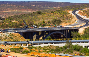
Mapping and the effective use of spatial data are both critically important for managing road networks, which are generally spread over vast distances, and have extremely important relationships with geographic features. A system which allows you to source, import, visualise and analyse spatial data is indispensable for good asset management. For this reason, iROADS uses map-centric design wherever possible, and has powerful integrated GIS capabilities, both under the hood and available to users.
Combining and visualising spatial data can create important insights, and is a relatively easy way to boost the effectiveness of your teams – by giving them access to spatial data and the tools to use it, they can quickly find information they need, take better decisions, and ultimately drive better outcomes.
System Requirements
Runs in any web browser
Training Course Schedule
There are no training courses currently scheduled, click here to view all training courses.
Visualise all data on the map
Any data with location information can be mapped – assets, defects, survey data, areas of poor condition, accident hotspots… Our map overlays make it easy to work with this data to create effective visualisations.
Choice of base maps
iROADS provides a full set of basemaps out of the box, including Microsoft Bing Roads and Satellite maps, topology, and light/dark maps. We can also integrate with all common basemap services (such as ESRI).
Multiple referencing systems
We support both linear and geospatial referencing models, allowing you to switch between them as needed. iROADS also supports all common geospatial referencing formats and automatically converts between them.
Use any spatial data
iROADS supports all common spatial data formats, and makes it easy to bring spatial data into the system to use alongside your asset data. Flood sites, depots, administrative boundaries – you decide what is important.
Advanced spatial tools
Go beyond simple visualisation – iROADS allows you to use spatial features to create data queries, update your asset data efficiently, and create groups of assets and/or routes for analysis, surveys and reporting.